15% off for 2 & 20% off for 3 or more
discounts applied to your basket

Dorset county and national landscape maps
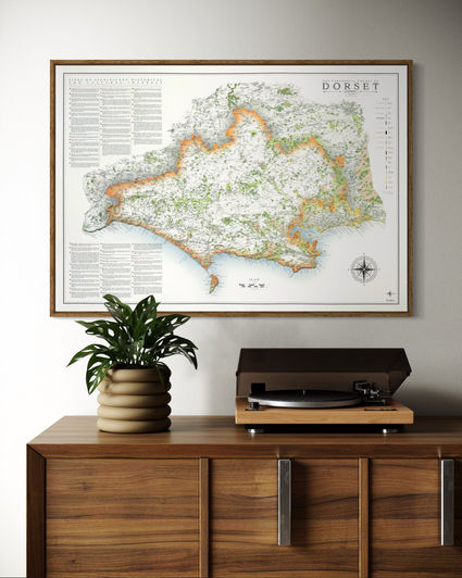
What a fascinating county Dorset is. There are two versions of the Dorset county map available.
One has the two unitary authorities displayed in different colours, the other is a single colour to represent the whole ceremonial county without distinction of the unitary authorities.
I have also produced a map of the Dorset national landscape.
available in 3 sizes
large - 100 x 70 cm (B1) (original design size) small - 84.1 x 59.4 cm (A1)
reduced - 70 x 50 cm (B2) (artwork more congested and about 5% of text labels removed)
framed maps of Dorset available for paper and canvas prints
check out Dorset's westerly neighbour Devon
see Dorset's northerly neighbours Somerset or Wiltshire
Mini Maps
My Dorset maps have also been re-designed for the mini map series with less detail and no 'sites of significant historical and cultural interest' in smaller print sizes
Large: A2 - 59.4 x 42 cm
Medium: B3 - 50 x 35.3 cm
Small: A3 - 42 x 29.7 cm


